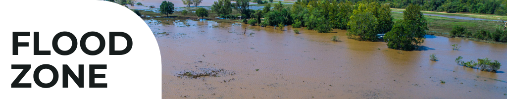
The Federal Emergency Management Agency (FEMA) uses flood zones to identify areas according to their varying flood risk levels, from low to moderate to high risk and in-between.
FEMA produces Flood Insurance Rate Maps (FIRMs) which show the boundaries of each flood zone, which dictates a property’s (or, more importantly, a structure’s) flood status, and therefore flood insurance requirements according to the National Flood Insurance Program (NFIP).
It’s important to note, NFIP mapping started in 1968 and was performed through the ‘70’s – nearly 50 years ago! Because land, development and environment changes over time, and also because of limitations to the original studies and mapping efforts, the zones and FEMA maps have and will continue to change over time. There may be many variables that contribute to a property’s estimated flood risk, making it possible for Flood Zone designation to be potentially challenged, amended or changed in some cases.
Here are some most common words you might encounter:
Flood
A general and temporary condition of partial or complete inundation of 2 or more acres of normally dry land area or of 2 or more properties (at least 1 of which is the policyholder’s property) from:
Overflow of inland or tidal waters; or
Unusual and rapid accumulation or runoff of surface waters from any source; or
Mudslides (i.e., mudflows) which are proximately caused by flooding and are akin to a river of liquid and flowing mud on the surfaces of normally dry land areas, as when earth is carried by a current of water and deposited along the path of the current.; or
Collapse or subsidence of land along the shore of a lake or similar body of water as a result of erosion or undermining caused by waves or currents of water exceeding anticipated cyclical levels that result in a flood as defined above.
Flood Hazard Boundary Map (FHBM)
Official map of a community issued by FEMA, where the boundaries of the flood, mudflow and related erosion areas having special hazards have been designated.
Lorem ipsum dolor sit amet, consectetur adipiscing elit. Ut elit tellus, luctus nec ullamcorper mattis, pulvinar dapibus leo.
Lorem ipsum dolor sit amet, consectetur adipiscing elit. Ut elit tellus, luctus nec ullamcorper mattis, pulvinar dapibus leo.
Lorem ipsum dolor sit amet, consectetur adipiscing elit. Ut elit tellus, luctus nec ullamcorper mattis, pulvinar dapibus leo.